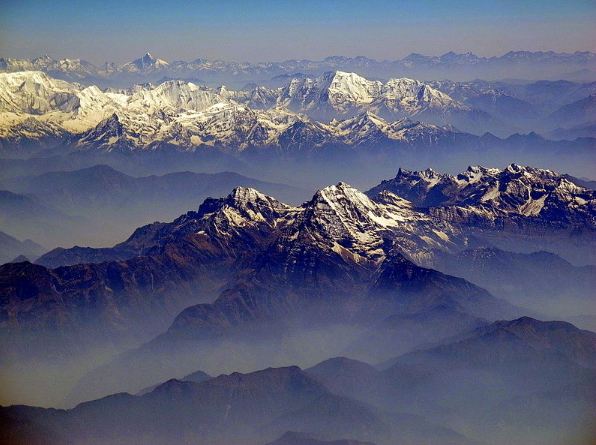
Brief Information about Khakaborazi
Khakaboraziis believed to be Myanmar's highest mountain. The 5,881-meter (19,295 ft)-tall mountain is the highest mountain in Southeast Asia as well. It is located in the northern Myanmar state of Kachin in an outlying subrange of the Greater Himalayan mountain system near the border tripoint with India and China.
Pangnamdim Map — Satellite Images of Pangnamdim
Welcome to the Pangnamdim google satellite map! This place is situated in Nogmung, Kachin, Burma, its geographical coordinates are 27° 44' 0" North, 97° 53' 0" East and its original name (with diacritics) is Pangnamdim. See Pangnamdim photos and images from satellite below, explore the aerial photographs of Pangnamdim in Burma. Pangnamdim hotels map is available on the target page linked above.
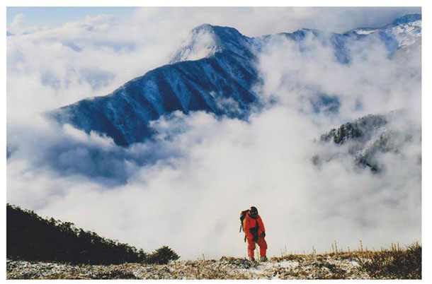
Trekking_Khakaborazi
Myanmar is a great destination for adventure travel and trekking. Various landscapes and interesting ethnic encounters guarantee an experience of a lifetime where ever you choose to do your trekking journey. We have listed our favorite Myanmar adventure destinations with essential travel information to make it easier for you to choose where to go and what to do.